Decoding the drivers of snow across the Rockies
by Gillian Gallagher
The first time I encountered Western snowpack was on a hot day in late June. I was hiking up Revolution Peak along a rugged trail hidden in Mt. Baker-Snoqualmie National Forest, Washington. As I neared the top, I was astonished to find deep snow despite the 90°F heat. Growing up on the East Coast, snow was short-lived. A few snowstorms each year were typical, but most snow melted within days. Experiencing this stark contrast was my introduction to the distinctive world of Western snow regimes.
Seasonal snow is a critical water resource for the western United States. In semi-arid regions like the Upper Colorado River Basin, most annual precipitation falls as snow during winter. Snowpack is commonly reported as snow water equivalent, or SWE, representing the amount of water stored in snow. Snowpack functions as a natural reservoir in the west, storing water high in the mountains and gradually releasing it in spring and summer to sustain rivers, reservoirs, farms and cities. It also maintains the habitat conditions that snow-adapted species need to survive.
My summer research, supported by the Climate Adaptation Scientists of Tomorrow (CAST) program, focused on understanding how climate conditions and terrain features shape mountain snowpack. Despite topography being important in snow modeling, these features are less directly represented in snow models. To address these gaps, we used high-resolution snow reanalysis datasets (UCLA-WUS-SR, UA-SWANN) and climate products (DAYMET, PRISM) to examine the relative roles of precipitation, temperature, and shortwave radiation in shaping peak annual SWE in the Rocky Mountains. Here we primarily rely on data-driven models to allow for the effects of terrain on snowpack to emerge directly from data.
Since elevation and aspect strongly shape the climate conditions that contribute to snow variability, we implemented a stratified regression framework to account for these attributes. Aspect refers to the dominant slope orientation, which controls the timing and amount of shortwave radiation reaching a snow covered surface. Shortwave radiation is primarily included to capture intra-seasonal melting effects. Since aspect is relatively less mapped than elevation at the landscape scale, partly due to sparse observational networks and coarser gridded datasets, we expand on past research by incorporating it into our models. Our analysis is guided by three main questions: (1) At what elevations do precipitation, temperature, or solar radiation become dominant drivers? (2) Can aspect-based patterns in SWE sensitivity (snow water equivalent, or, a measure of the amount of water stored in the snowpack) be detected at the landscape scale? (3) Where in the Rockies is the snowpack most vulnerable to climate change?
One of the clearest findings was that elevation had a more consistent and systematic control than aspect. Precipitation drives most of the variation in peak snowpack across the Rocky Mountains, closely aligning with findings from past studies. Particularly at mid-to-high elevations (~1700–3000 m), snow dynamics are more strongly influenced by temperature due to its impact on precipitation phase and melting/ablating rates. Solar radiation comparatively showed a smaller and less clear impact on the accumulation season. Given the dominance of precipitation on snow accumulation, our next phase of research will primarily focus on orographic lift, which refers to when moist air is forced over mountainous terrain. This work will include the Rocky Mountains, Cascades, Sierra Nevada and the Bitterroots, identifying where orographic effects are strongest, and testing consistency across multiple datasets.We additionally seek to look at the stationarity of elevation-snowlines, or boundaries between snow-covered and snow-free areas. High-resolution weather modeling and machine learning will additionally be used to obtain a robust understanding of the mechanisms that affect seasonal snowpack. Through this work, we intend to support future habitat conservation efforts, and to improve forecasting abilities for streamflow.
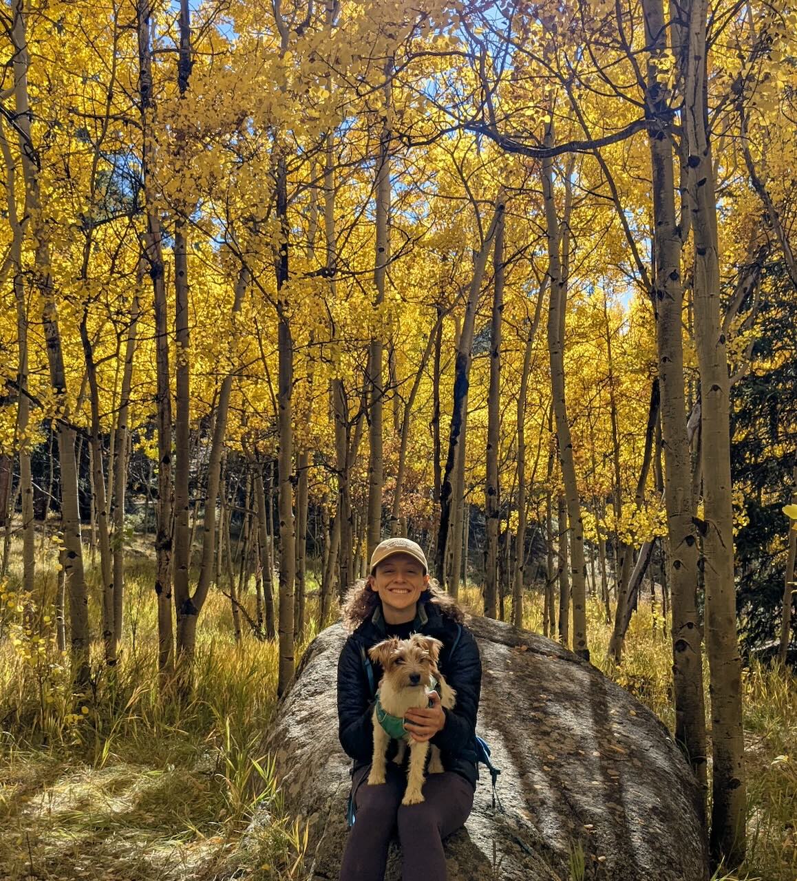
About the Author: Gillian Gallagher is a PhD student in the Civil, Environmental and Architectural Engineering (CEAE) department at the University of Colorado Boulder. Prior to starting her program, she completed a M.S. in Civil Engineering at Purdue University, and a B.S. at the University of Vermont. In her free time, she enjoys the great outdoors alongside her small, but fierce dog, Murph.