

Blog/Vlog
The NC CASC blog/vlog is a communication initiative that provides a platform for undergraduate and graduate students, scientists, and consortium partners to share their work with the public in a more informal and accessible way. Use the drop-down menu to explore written blog posts or multimedia video content (vlogs).

Bringing Clarity and Order to the Climate Adaptation Toolkit
Climate adaptation science has matured rapidly over the past two decades. In that time, scientists, agencies and practitioners have developed an impressive array of planning processes and guides, decision tools and conceptual models. From scenario planning to response modeling, from adaptation menus to the resist-accept-direct (RAD) framework, the toolbox has expanded in powerful ways.
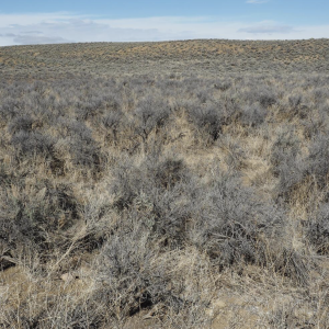
Developing an Adaptation Menu for the Sagebrush Biome
Imagine you could be handed a printed menu, but instead of viewing what food or drinks are available, you could read about the various ways to save an ecosystem. Or, imagine that ecosystem “doctors” could have a guide available to them that helps determine what course of action to take; what “treatments” are available for the land.
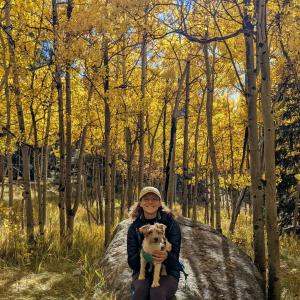
Decoding the drivers of snow across the Rockies
The first time I encountered Western snowpack was on a hot day in late June. I was hiking up Revolution Peak along a rugged trail hidden in Mt. Baker-Snoqualmie National Forest, Washington. As I neared the top, I was astonished to find deep snow despite the 90°F heat.
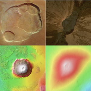
A Geographer’s Perspective on the Existence of a Topographic Signature of Life
Whenever I introduce my research to people, I am often asked “did you say geology or geography?” While it’s true that geographic research can involve the processes leading to the formation, composition and analysis of rocks, I can assure you, the two are distinct fields of study.

Unfulfilled Promises: The Ute Mountain Ute Tribe's Fight for Water Justice in the Face of Climate Change
On a sunny July afternoon, I’m standing on the shore of Lake Nighthorse, gazing out over its glistening blue water, framed by rolling green peaks. I hear the faint hum of a motor as a boat passes nearby. In the distance, a group of children splash around, while their family lounges on the sandy beach.
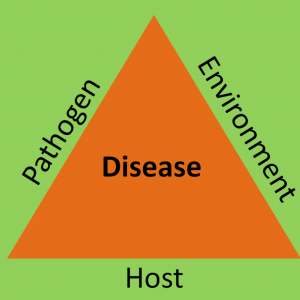
Navigating wildlife infectious diseases in the context of climate change is daunting – what can agencies do?
Recent emerging diseases, such as COVID-19 in humans and White Nose Sydnrome in bats, have brought to light how vulnerable infectious disease dynamics can be to the effects of climate change, including shifts in ecosystems, altered transmission patterns, increased frequency of extreme weather events, and the migration of disease vectors into new territories.
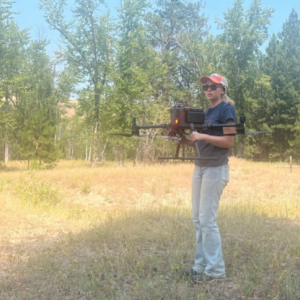
Forest Fire Fieldwork
My name is Josephina Matibag, and I am an undergraduate student at Colorado State University studying Natural Resources Science. I worked as a student summer intern with the North Central Climate Adaptation Science Center at the University of Colorado Boulder, which led to my first experience in fieldwork. My specific work uses remote sensing data, such as satellites and imagery collected via airplanes, to understand the impacts of forest fires on forest carbon recovery.
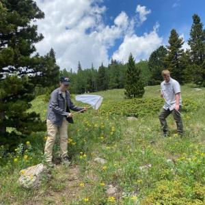
Exploring Elk Meadow: A Journey into Day and Night Ecological Research
At the end of May, I stepped into the heart of Elk Meadow for the very first time. Located high in the mountains at University of Colorado Boulder’s Mountain Research Station, this alpine meadow offered a glimpse into the world of ecological research. Despite the lingering snow, the first buttercups of the season made their appearance—a promising sign of the flowers yet to come. The beautiful and peaceful surroundings provided a perfect backdrop for our research.
Importance of Indigenous Inclusion in Water Management
Throughout my internship with the Climate Adaptation Scientists of Tomorrow (CAST) program, my goal was to conduct a literature review of different research articles on co-production with Indigenous populations. This was to help supplement a project on Sense of Place research on drought and water management in the Intermountain West, which previously lacked input from Indigenous communities.